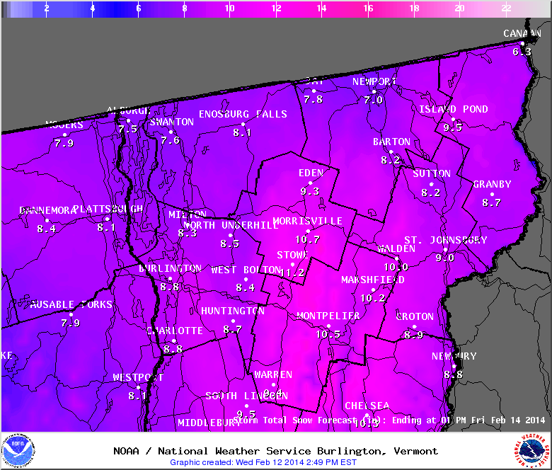
Light snow has been falling throughout the region all afternoon. The forecast is only calling for a few inches to fall. Later in the week the NWS is calling for a brief warm up with a little rain on Friday. Saturday is also forecast to be in the upper 30’s before returning to colder temps on Sunday.
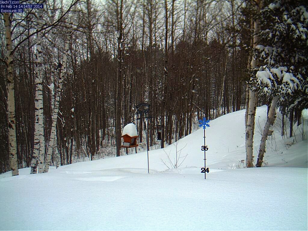
Here’s a recent image from our webcam in Island Pond with snow falling. As always, you can view the current conditions on our webcam by pointing your browser here
http://nekwx.com/webcam/
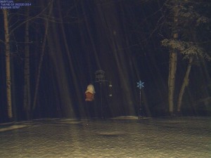
Snow on the webcam in Island Pond, VT