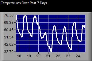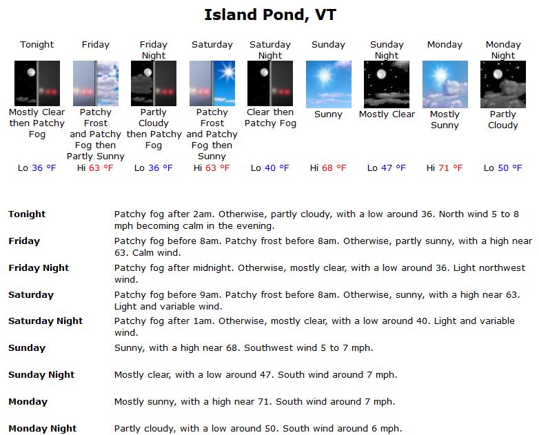
The National Weather Service in Burlington, VT has issued a frost advisory for the Northeast Kingdom for Sunday morning.
...FROST ADVISORY IN EFFECT FROM 2 AM TO 8 AM EDT SUNDAY...

THE NATIONAL WEATHER SERVICE IN BURLINGTON HAS ISSUED A FROST
ADVISORY...WHICH IS IN EFFECT FROM 2 AM TO 8 AM EDT SUNDAY.

* LOCATIONS...THE NORTHERN ADIRONDACKS OF NEW YORK...THE WEST
  SLOPES OF THE GREEN MOUNTAINS...AND NORTH CENTRAL AND NORTHEAST
  VERMONT.

* HAZARDS...AREAS OF FROST.

* TEMPERATURES...LOWS IN THE LOWER TO MID 30S.

* TIMING...FROST WILL BEGIN TO DEVELOP AFTER MIDNIGHT SATURDAY
  NIGHT AND ESPECIALLY AROUND SUNRISE SUNDAY MORNING.

* IMPACTS...OUTDOOR VEGETATION SENSITIVE TO COLD TEMPERATURES MAY
  BE KILLED IF LEFT UNCOVERED
The forecast for the next several day is for Monday morning to be even colder. The colder nights coupled with the ever increasing longer nights should help with foliage development over the next week.
Forecast for Island Pond, VT for 9/24/16 – 9/30/16
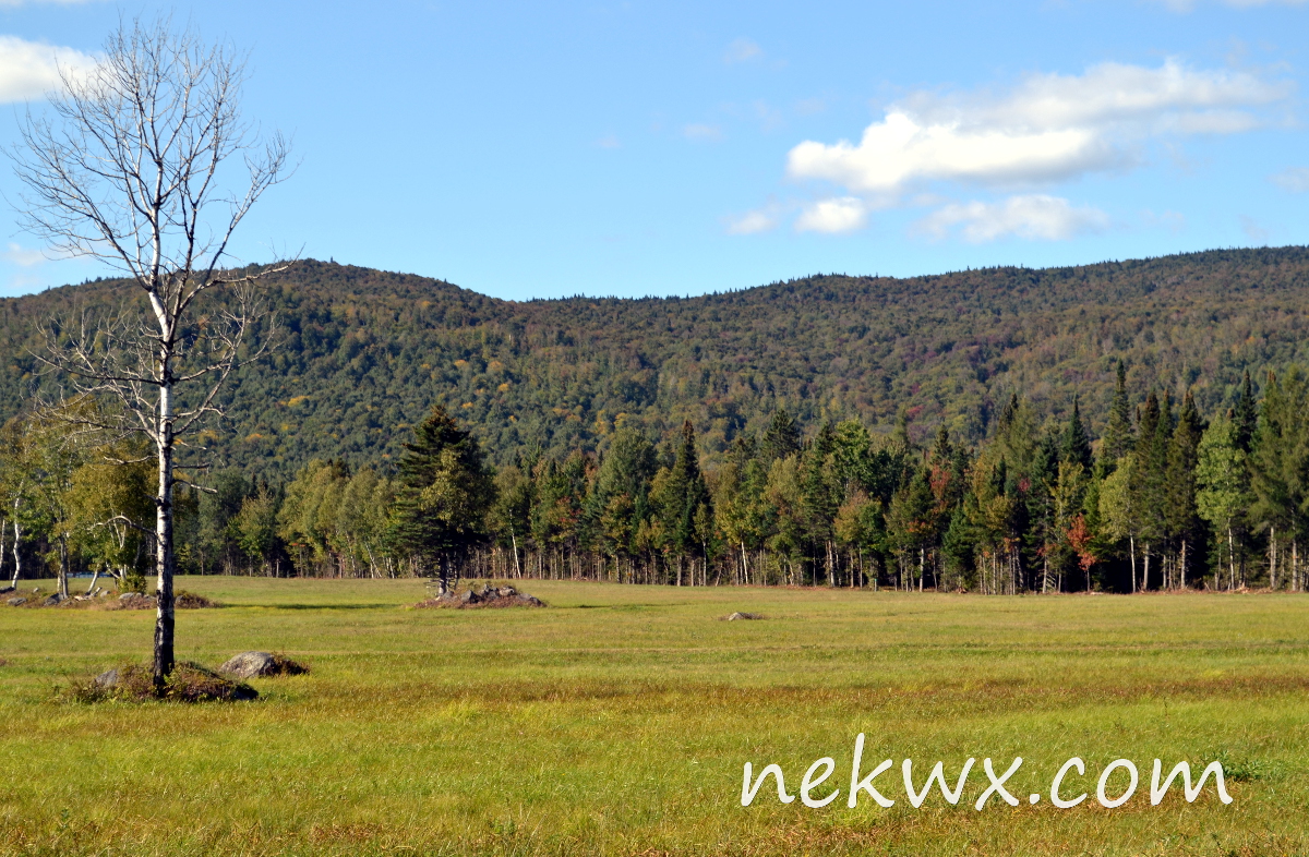
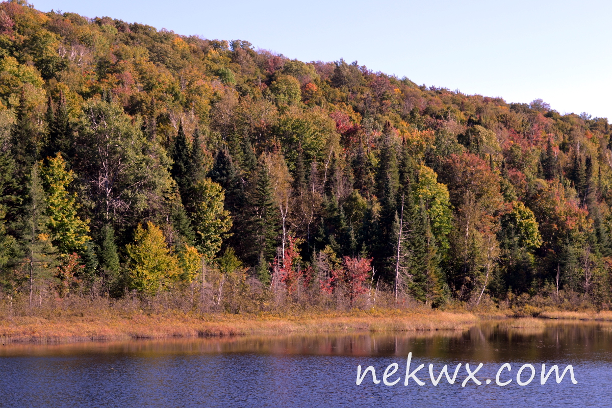
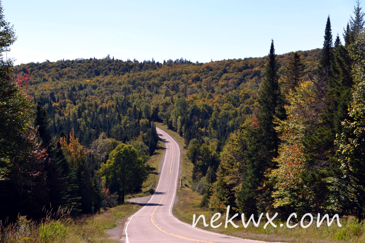
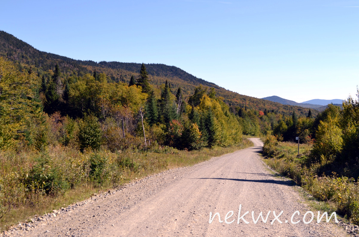
Here’s a recent image from our live webcam that show the birch leaves starting to turn yellow. You can also see a few birch leaves already on the ground in the image.
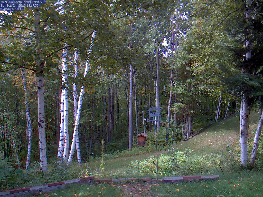
Island Pond, VT Webcam image from 9/24/16