It has really felt good to see temperatures warm in to the 40’s for both Tuesday and Wednesday! Tuesday was the warmest with a high of 48° here in Island Pond, VT. Today was a little windier and cooler with the high reaching 42°. Even the overnight low didn’t go below freezing on Wednesday morning, 36° was the morning low.
Unfortunately cooler weather will return as a cold front moves through the Northeast Kingdom of Vermont this evening. The front will bring with it a chance of flurries or light snow. Not much accumulation is expected with the front but some areas of the NEK could see 1-2 inches of new snow. The next storm should arrive over the weekend and as of right now it looks like a mix of snow and rain.
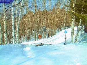
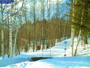
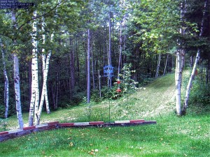
Here is a photo from the Island Pond Webcam on Tuesday followed by an image from the cam on Wednesday. As you can see, we’ve lost quite a bit of snow during the warmup.


