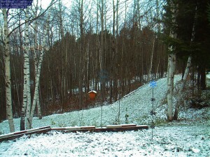
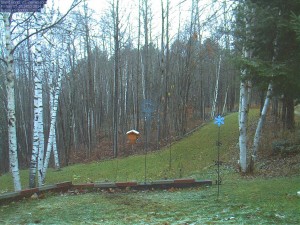
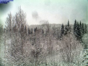
The National Weather Service in Burlington, VT has issued a Winter Weather Advisory for the Northeast Kingdom. I guess I better get the snow stake setup in the webcam view in case we do get some accumulating snow. Below is the Advisory text.
WINTER WEATHER ADVISORY IN EFFECT FROM 1 AM TO 7 PM EST FRIDAY…
THE NATIONAL WEATHER SERVICE IN BURLINGTON HAS ISSUED A WINTER WEATHER ADVISORY FOR SNOW…WHICH IS IN EFFECT FROM 1 AM TO 7 PM EST FRIDAY.
* LOCATIONS…GREEN MOUNTAINS AND NORTH CENTRAL AND NORTHEAST VERMONT.
* HAZARD TYPES…HEAVY WET SNOW. * ACCUMULATIONS…2 TO 5 INCHES OF HEAVY WET SNOW WITH THE HIGHEST SNOWFALL TOTALS ABOVE 1500 FEET.
* MAXIMUM SNOWFALL RATE…UP TO 1 INCH PER HOUR…MAINLY EARLY FRIDAY MORNING.
* TIMING…RAIN WILL TRANSITION TO SNOW OVER LOWER ELEVATIONS BY 4 AM AND BE HEAVIEST THROUGH THE EARLY MORNING. LIGHT SNOW WILL CONTINUE TOMORROW TAPERING OFF INTO THE EVENING.
* IMPACTS…UNTREATED ROAD SURFACES MAY BECOME SLUSHY ESPECIALLY AT HIGHER ELEVATIONS. TEMPERATURES WILL DROP BELOW FREEZING IN THE EARLY EVENING WHICH WILL CAUSE ANY PRECIPITATION STILL ON THE GROUND TO FREEZE RESULTING IN ICY ROADS.
* WINDS…NORTHWEST 5 TO 15 MPH WITH GUSTS UP TO 25 MPH.
* TEMPERATURES…LOWS IN THE MID 30S. HIGHS IN THE MID 30S.
* VISIBILITIES…VISIBILITIES COULD DROP TO 1/2 MILE AT TIMES.
PRECAUTIONARY/PREPAREDNESS ACTIONS… WITH THE STRONG ELEVATIONAL DEPENDENCE OF THIS STORM…WATCH FOR RAPIDLY CHANGING ROAD CONDITIONS IF TRAVELING IN MOUNTAINOUS TERRAIN. PLEASE STAY TUNED TO NOAA WEATHER RADIO…YOUR LOCAL MEDIA…OR GO TO WWW.WEATHER.GOV/BURLINGTON FOR FURTHER UPDATES ON THIS WEATHER SITUATION.


